

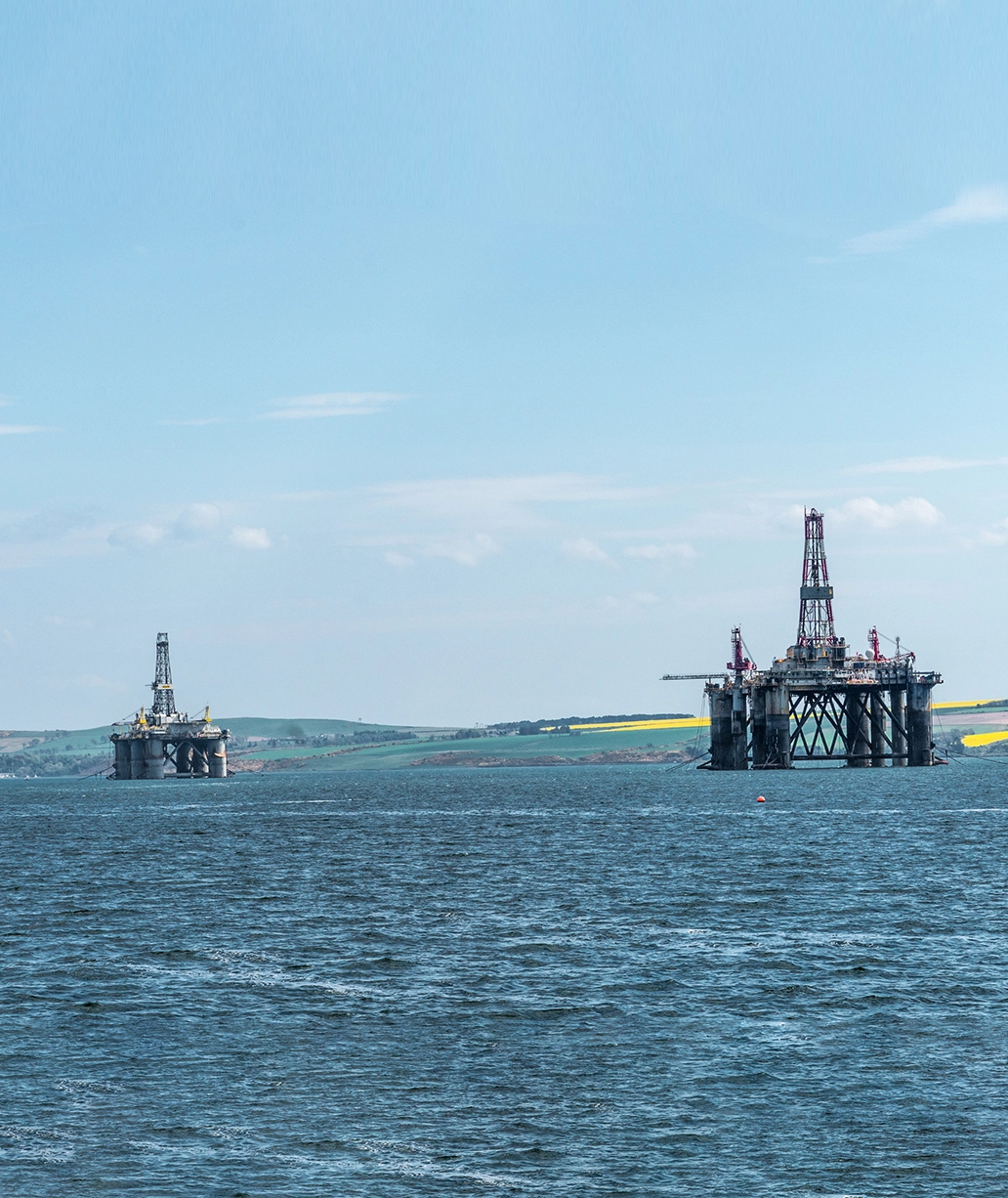
Rovco is a leading provider of subsea robotic and integrated survey solutions to the offshore wind and oil field decommissioning sectors.
We focus on the use of perception, data and autonomy technology to modernise the offshore industry, and help further the growth of marine generated renewable energy, enabling substantial project cost-savings, and delivering the highest quality data to support offshore projects.
Rovco is an independent provider of subsea robotic and integrated survey solutions, with a wealth of experience in delivering complex projects across the offshore wind and oil field decommissioning sectors.
Leveraging our state-of-the-art 3D vision technology to deliver superior quality data sets, we provide vital insights that support the full lifecyle of offshore wind farm developments, from guiding the initial layout and design, to informing the long-term planning of potential preventative maintenance and remedial works on assets.
Combining our highly experienced team with technology from our award-winning sister company, Vaarst, we are revolutionising how our customers manage their subsea infrastructure and asset integrity.
Our trusted and versatile offshore survey solutions enable truly substantial time and cost savings, as well as significantly lowering emissions across projects, changing the face of the industry.
We help our clients to make informed decisions and de-risk their projects by harnessing cutting-edge innovations, enabling a truly autonomous, intelligence-driven and cloud-connected future.
UK founded and with an operational base in the North East of Scotland, Rovco has enjoyed continued growth since its inception in 2016, and is now unfolding its potential internationally, as the business looks to support the global energy transition.
Rovco delivers powerful, cost-effective solutions to a diverse range of customers around the world across a range of industries.

Supporting site consenting surveys, informing wind farm design, providing accurate as-built construction insight, informing warranty and insurance oversight, and monitoring asset and component conditions throughout O&M.

Fast and reliable security inspections for ports, harbours and vessels.
.png)
Providing accurate metrology to reconstruct and inform the need for replacement components, confirming the condition of ageing assets, providing insight before decommissioning, transforming how pipeline eventing is done.

Research of physical and chemical properties in the water column and at the seabed.
Offshore, nearshore, inshore survey solutions to inform site layout and component design. MBES, SSS, Magnetometer, Subbottom, CPT, Vibrocore, sparker, benthic, archaeology, and marine habitat assessment.


Providing insight into asset integrity and informing the need for intervention early. Warranty surveys, Export and Array cable survey, Depth of Burial, component change assessment (scour, anodes, marine growth, cable).


Providing a detailed archive of wind farm development and asset condition throughout the life cycle, including the use of high definition digital twins. This enables owners to re-sell assets with an accurate history of data, as well as service records for prospective new owners. Recreating subsea asset condition where legacy drawings or data is lost, to assist in the safe design of decommissioning programs.


Eliminating uncertainty about offshore subsea site conditions, we help our clients mitigate risk and ensure the long-term performance of their assets. Our technical studies and surveys deliver insights that provide a thorough understanding of offshore wind development areas and cable routes, guiding layout and design. Through state-of-the-art data collection and in-house analysis, we enable informed decisions and the de-risking of complex projects. Furthermore, our comprehensive range of solutions also support the conservation of the marine environment and the sustainable development of large marine assets.


Utilising our exceptional subsea positioning and monitoring tools, our team are experienced in providing light construction support across offshore wind developments, including cable-lay support, touchdown monitoring, and cable burial assessments.
Delivering superior data quality and efficient construction data management, in addition to project management and communication with stakeholders both offshore and onshore, we provide unrivalled insights and improve outcomes in a safe, efficient and schedule-driven setting.
Unexploded ordnance (UXO) continue to pose a real risk to site developers, contractors and asset owners, even after decades of inactivity.
We are experienced in identifying, investigating and mitigating hazards with precision and expediency.
Fusing our expertise together with the SubSLAM X2 intelligent data collection system and sub-bottom imaging technology, we can accurately detect ferrous and non-ferrous items of UXO both above and below the seabed, generating full 3D models of UXO and other artifacts of historical importance in situ and in real-time.
In doing so, we substantially reduce the amount of vessel time required to investigate false positives, delivering considerable cost savings and a significant reduction in emissions.
Additionally, we provide the expertise and assets to precisely identify and remove boulders and other obstructions from the seabed safely and efficiently.

Marine growth on offshore wind structures can have adverse consequences for the integrity, hydrodynamic efficiency, and longevity of assets, and may also encourage the establishment and growth of non-native or invasive species. Components that are exposed to marine growth may be subject to additional weight and stress, leading to damage and potential risks to watertightness.
Harnessing the power of SubSLAM X2, detailed information about marine growth on a structure can be delivered in real-time, as well as providing highly accurate year-on-year comparisons to monitor the rate and volume of accumulation. By accurately monitoring marine growth over time, asset owners can ensure that it does not exceed operational limits, as well as identifying when preventative maintenance is necessary.
Precise and accurate depth of burial information is essential for cable security and for reducing cable maintenance costs.
We provide efficient cable depth of burial surveys, together with accurate plotting of route position logs, through the combined use of our positioning survey solutions. Our team is experienced in deploying an extensive suite of leading-edge tools, including acoustic sub-bottom imaging technology, and integrated cable and pipe tracking systems.


Delivering the highest quality data and insights to support the planning, installation, and maintenance of export and inter-array cables.


Offshore wind farm developments can occupy a significant area in the oceans, and turbine foundations pose the risk of impacting archaeology. We recognize the importance of subsea archeology; there are far fewer sites in comparison to land, and these may contain artefacts of historical significance that are not found elsewhere.
We understand how critical it is to ensure that archeological methods are efficient and executed with precision and care, to protect these valuable assets for future generations.
We form powerful collaborations with trusted partners, fusing together carefully selected expertise and technology to provide best-fit solutions for our clients.
Combining our experience in survey solutions and deploying the SubSLAM X2 intelligent data collection system together with 3D acoustic sub-bottom imaging technology, we can deliver full 3D images of assets both above and below the seabed.
Crucially, we offer a solution that can be deployed while the assets are still operating and energized (HVAC or HVDC).

Our dedicated multipurpose DP2 survey vessel, the Glomar Supporter, has a proven track record for safe and efficient operations, and has been carefully tailored to deliver a versatile and superior quality spread for consistent, industry-leading data capture and reporting.
Differentiated by technology and equipment, the vessel provides synergistic working and flexibility of sensor deployment. With a USV onboard, the vessel is equipped to deliver simultaneous data collection with instant upload, as well as a Work-Class ROV for concurrent inspection activities.
Newly refurbished, with DP2 station keeping capabilities, an overall length of 60 metres, 15.6 metres width and a draft of 3.5 metres, the Glomar Supporter is the ideal vessel to deliver a complete package of survey solutions, bringing unrivalled efficiency to offshore operations.


Rovco is an efficient ROV operator. We use our observation, inspection and work-class ROVs enabled with our latest inspection technologies to deliver ocean insight.

Its compact features and impressive vectored thrust enables greater workability and station keeping. The vehicle is capable of working in 3-knot currents and sustains a payload of 200kg. The vehicle provides a multi-purpose work-class solution ideally suited to construction support, cable and pipe surveys, IRM activities in shallow water and strong current environments while being equally capable in deep2000MSW environments.

This vehicle is easy to airship, easy to operate and is a reliable simple lightweight system. It can be mobilised with anything up to 1100m of tether with standard and fibre optic tether options.

This vehicle is easy to airship, easy to operate and is a reliable simple lightweight system. It can be mobilised with anything up to 1100m of tether with standard and fibre optic tether options.

With a 12kg payload and a CAT7 Ethernet tether, we can attach a large variety of ROV survey and tooling equipment, including our 5 function Hydro-Lek manipulator skid. Adding our optional equipment makes this vehicle an extremely useful all-round ROV, able to operate in stronger currents than similar ROVs.
Providing instant metrology data and shorter projects, SubSLAM® X2 is the world’s first real-time intelligent data collection system that delivers underwater 3D point clouds and navigation with sub-millimetric precision.
SubSLAM X2 is the first real-time Intelligent Data Collection Systemthat delivers underwater live 3D point clouds and navigation withmillimetric precision. Deployable from any underwater vehicle aroundthe globe.
Learn more about Vaarst >Providing instant metrology data and shorter projects, SubSLAM X2 is the world’s first real-time intelligent data collection system that delivers underwater 3D point clouds and navigation with sub-millimetric precision.


Our Intelligent Data Platform (IDP) is the next-generation management tool in underwater survey. Tailored to deliver the exact information needed by asset owners in the format most useful to them, our IDP allows data to be stored and instantly shared with colleagues to any device, anywhere in the world.
All acquired data is collected into one repository, providing a history of assets and critical components that can be accessed on demand. Through a high-level summary, operators can view the condition of assets at a glance. This information can be used to simply monitor progress, as a quality control measure, or even to enable the CSWIP team to be based onshore.


Rovco applies the Vaarst ML Platform to optimise decision-making and eradicate human error, by combining advanced data analysis methods with rapid ML retraining. The technology can be used as an eventing engine or as a post-processing tool.
Rovco applies the Vaarst ML Platform to optimise decision-making and eradicate human error, by combining advanced data analysis methods with rapid ML retraining. The technology can be used as an eventing engine or as a post-processing tool.
Learn more about Vaarst >Button Text
We apply machine learning and artificial intelligence technologies to improve the efficiency of subsea surveys and asset management. The SubSLAM® X2 System forms the basis of a suite of powerful tools that can extract more information from atypical subsea inspection. Through the automatic detection of key features or anomalies, the Vaarst Machine Learning Platform provides Engineers and O&M teams with a more focused approach to asset monitoring and reporting. By leveraging ever more powerful artificial intelligence, personnel can spend more time on critical analysis and management, rather than watching hours of video.


Machine learning and artificial intelligence technology automate high-cost, error-prone tasks such as detecting defects or monitoring changes in corrosion. By removing the human element, potential inconsistencies can be avoided, and true values of certainty applied to measurements. Repeatable and reliable measures can be obtained to provide owners and operators much higher confidence in their asset condition report.
Compliance with industry and HSE standards is essential to ensure safe efficient operations.
We have experience in ensuring that ROV systems are up to IMCA R006 standard, and are compliant with all Health & Safety Executive guidelines and Health & Safety at work requirements.
The quality of our service is further underpinned by our ISO 9001 DNV GL Accreditation.


